Embed spatial data analysis library in your cross-platform application
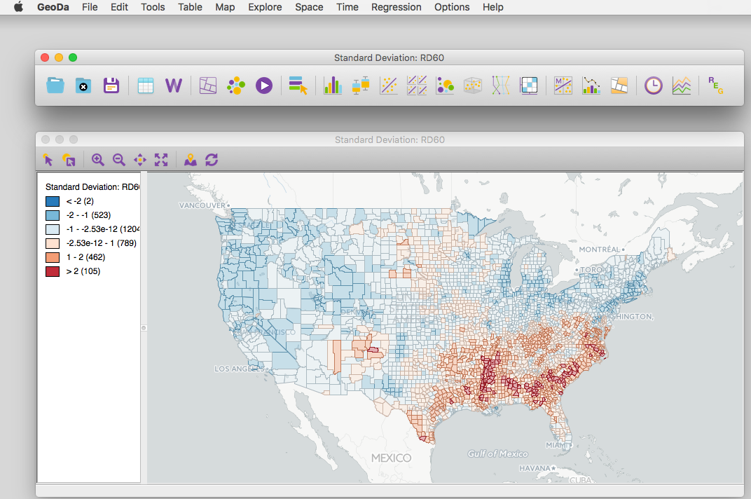
libgeoda is a C++ library from the core modules of the GeoDa software, which has been used as an introduction to spatial data analysis by more than 360,000 users worldwide. libgeoda provides plenty features with refined algorithms for: Exploratory Spatial Data Analysis, Spatial Cluster Detection and Clustering Analysis, Regionalization, Spatial Regression Analysis. It has also been wrapped and optimized for exposing to other programming languages, e.g. Javascript, R, Python etc.
Integrate spatial data analysis in your cloud mapping web application
jsgeoda runs in modern web browser. By using WebAssembly, libgeoda library is optimized and compiled into jsgeoda, which is a lightweighted library can be downloaded and executed efficiently in most modern web browser. jsgeoda can be easily integrated with your javascript web application with powerful functionalities of spatial data analysis.
Run spatial data analysis simply using SQL in your spatial database
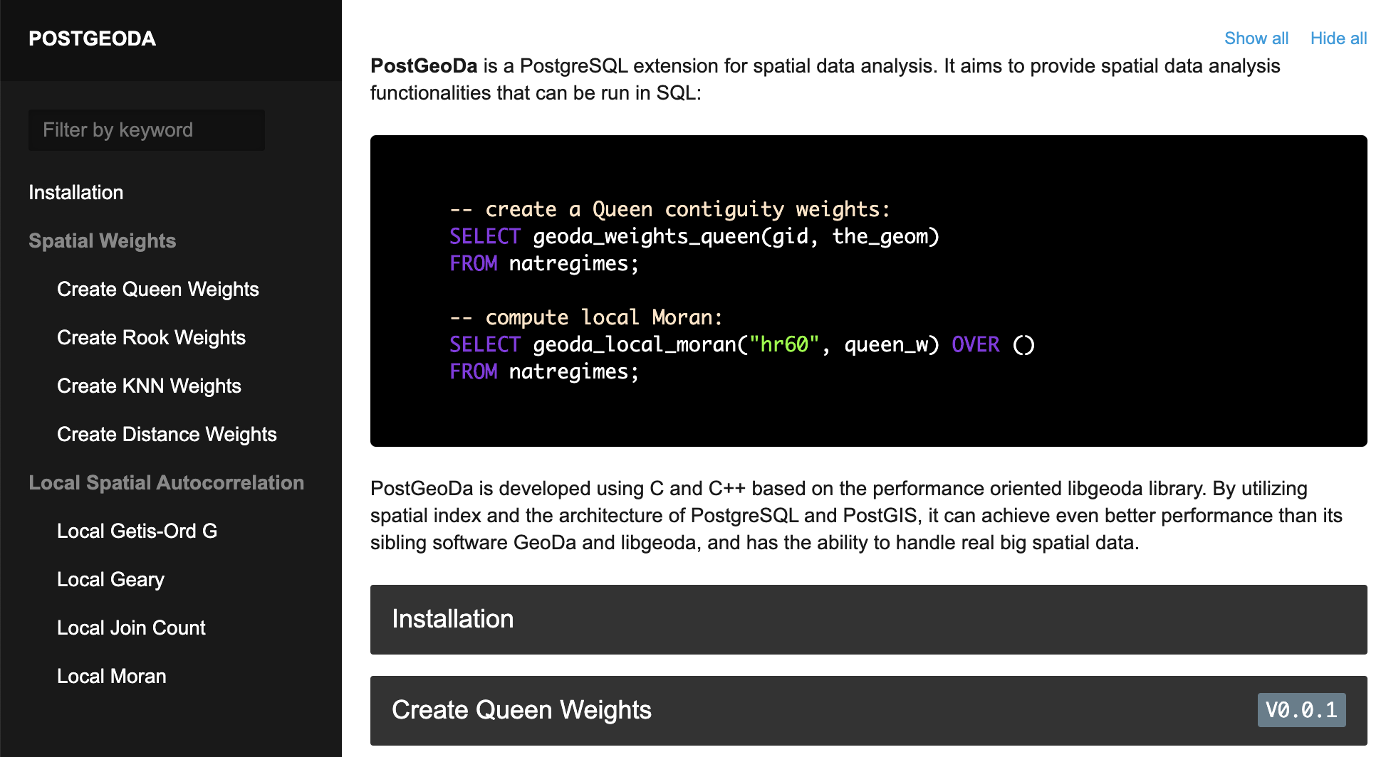
postgeoda is an extension of PostgreSQL server. postgeoda is developed using C and C++ based on the performance oriented libgeoda library. By utilizing spatial index and the architecture of PostgreSQL and PostGIS, it can achieve even better performance than libgeoda, and has the ability to handle real big spatial data.
Incoporate spatial data analysis in data science research using Python and R
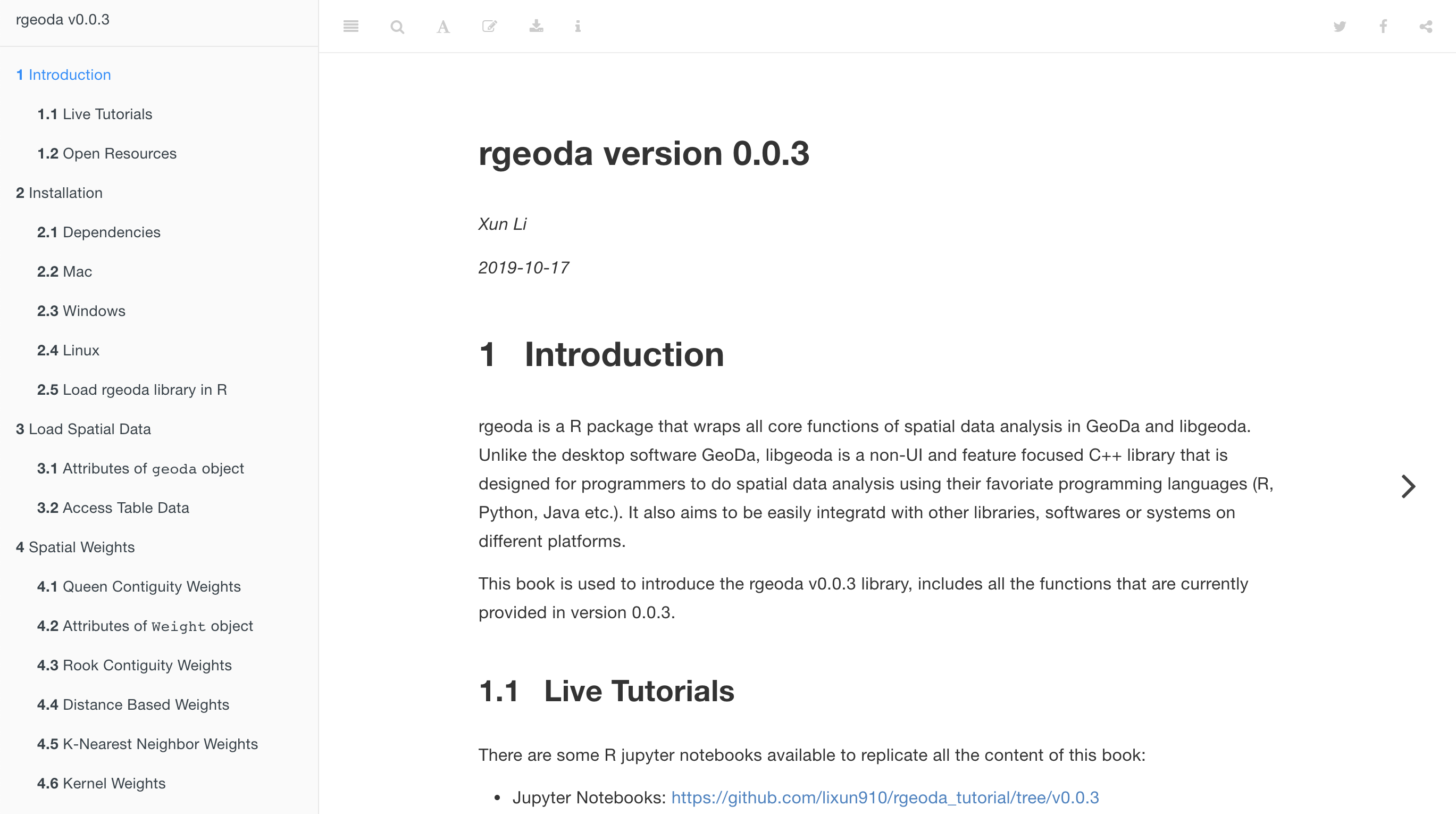
Both pygeoda and rgeoda provide plenty spatial data anlysis functionalities for facilitating new insights from data analysis by exploring and modeling spatial patterns. Based on the libgeoda library, pygeoda and rgeoda provide very fast and efficient algorithms for spatial data analysis.
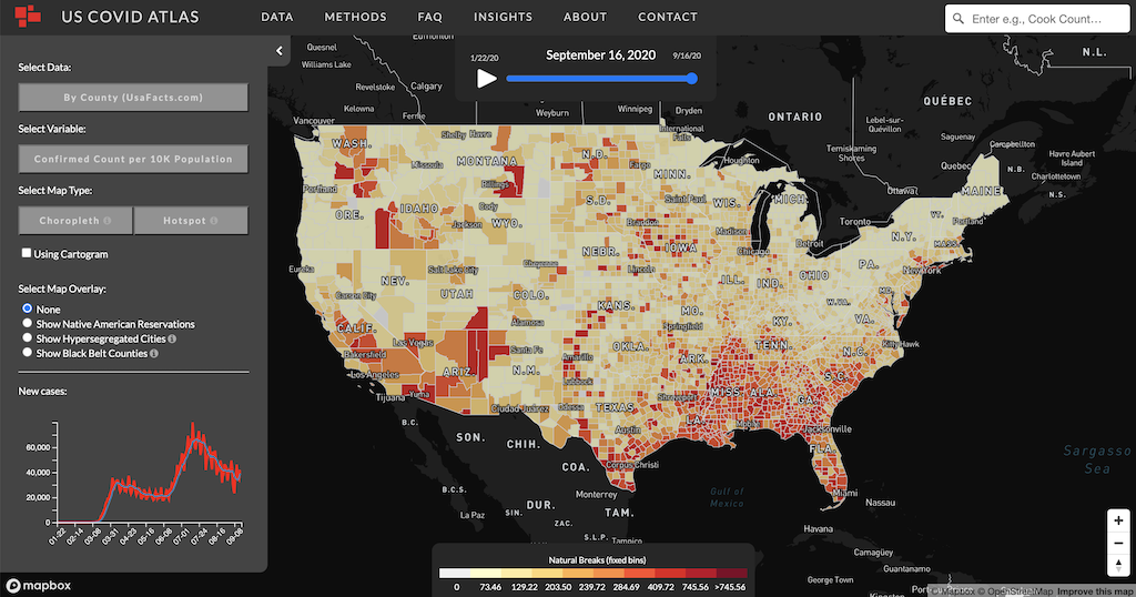
libgeoda helps the Covid Atlas to be built and published as a cloud mapping application with spatial analytics in a short time period with a fractional cost of a traditional webGIS system.